
Hidden Pipes and Cables: Survey a Pergola Site Before Drilling
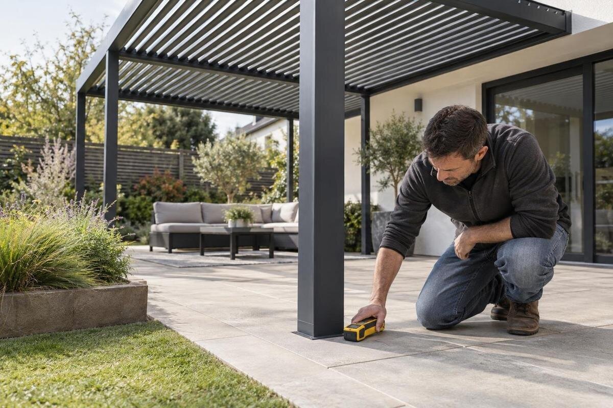
Pergola site planning
Planning a pergola over paving or in a garden means more than choosing where the posts look best. Water pipes, electrical cables, sewer pipes, irrigation lines, pool pipework and communications services may run through an apparently clear area, while plans may not show later changes. Before agreeing anchor points, bring together service records, the selected model’s layout and a suitable underground-services survey. The aim is not to guess a safe offset from a sketch; it is to establish what is present, what remains uncertain and who must resolve that uncertainty before drilling or excavation begins.

Why underground services affect pergola anchor positions
Before you decide where to drill, define the full area the installation will disturb. Depending on the selected design and approved anchoring detail, a pergola may need anchors, a base or excavation at each support; the exact arrangement must come from the relevant model drawings and a site assessment. Water, electricity, sewerage, telecommunications, irrigation and pool services may pass beneath paving or through a garden between a building and outdoor equipment. A clear-looking surface reveals nothing about those routes. Include every proposed support, the likely drilling or excavation footprint, and the working space required by the installer and tools in the survey area.
An accidental strike can damage a service, interrupt a supply, cause a leak or put people carrying out the work at risk. Repairs can also disturb paving and delay installation. Even without a strike, moving one support on the day may change the arrangement shown on the anchoring drawing; a post should not be treated as an independent point. Compare the proposed layout with service information before the team arrives. If records and site marks do not agree, keep the position provisional rather than asking the installer to make an unapproved adjustment in the ground. The survey is a design input, not a final box to tick.
Collect service records before setting out the pergola
Search for whatever records exist before booking a locator. Useful material can include site or building plans, service installation notes, renovation and paving records, contractor invoices, irrigation or pool-system layouts, and reports from previous excavation work. Ask the municipality, relevant service providers, property owner, body corporate or estate manager what information is available; do not assume one party holds a complete plan. Include lines installed privately in the garden, not only those connected to a public network. Note who supplied each document, its date and the area it appears to cover, so an old concept plan is not confused with a recent measured survey.
Treat a plan as a clue, not proof that a marked route is exact or that unmarked ground is clear. A drawing may show original routes but omit later repairs, extensions, abandoned services or lines installed by an owner; depths and alignments may also be approximate. Write down gaps and questions for the locator rather than filling them in from memory. If the Bloomcabin Bioclimatic Pergola model is being considered, include its model name and intended footprint in the survey request, so the relevant support area is assessed rather than a vague patch of garden. Ask for the search area and its limitations to be recorded.
Confirm the model layout and anchoring drawings
Once you have a candidate pergola, obtain the relevant model drawing and anchoring information from the supplier or installer. Confirm that the documents match the selected configuration and that the proposed fixing arrangement has been assessed for the actual supporting surface. A product image, overall area or approximate footprint does not give you reliable anchor coordinates. For Bloomcabin’s Bioclimatic Pergola, for example, ask for the current drawings that apply to the proposed installation and request clarification if a support or footing position is not explicit. Resolve missing or unclear positions before anyone marks out the site.
Use a site plan or another agreed reference to transfer the drawing into the actual work area. The installer and surveyor need to be looking at the same orientation, boundaries and proposed support locations; a rough sketch with no fixed reference can be misread or reversed. Show the whole area to be investigated, including the space for drilling or excavation, rather than marking only the post centres. If the chosen layout changes after the survey, update the plan and check the revised positions against the service information. A drawing and an on-site layout should describe the same proposal.
What a locating survey can and cannot establish
A competent underground-services locator can review available records, inspect the site and select methods suited to the likely services and surface conditions. Ask what the survey will cover, which types of pipe or cable the equipment can detect, and where paving, construction or access may limit the result. Electromagnetic locating can trace some conductive services when a detectable signal is available; ground-penetrating radar can help identify buried features in suitable conditions. Neither method guarantees that every service will be found. Ask the locator to explain the method and its limits in plain language before relying on the marks.
The report should distinguish a route that has been located from one that is only suspected or could not be checked. Ask which results are sufficiently clear to mark, whether a depth estimate is supported, and what areas remain uncertain. If the layout uses wall fixings, include the wall and the ground immediately around it in the survey brief; for a Bloomcabin Wall-Mounted Pergola, checking only the proposed ground marks could leave relevant areas outside the search. A locating survey provides information about services; it does not approve the pergola’s anchoring design or establish whether the supporting structure is suitable.

Survey the whole work area, including paving and walls
Look beyond the planned post centres when defining the survey boundary. Consider likely routes between the house and garden taps, outdoor lights, pumps, pool equipment, irrigation controls and other visible service points. Covers, access boxes and meter locations can provide useful clues, but do not treat them as proof of the route between two points. Ask previous contractors or the property owner about services installed during garden work, paving or renovations. Include the full proposed pergola footprint and any place where an installer may need to drill, excavate or gain access to a support.
Paving can hide a service route just as grass can, and a surface inspection alone does not establish what lies below it. If a slab, paved layer or other construction is part of the work area, tell both the locator and installer what is known about it and ask how it affects their assessment. Service detection and checking whether a surface is suitable for anchoring are separate questions. The service survey does not establish whether the substrate can support the proposed fixing, while a suitable-looking surface does not show that it is free of buried services.
Mark service routes and proposed anchor positions together
After the survey, transfer its findings and the proposed support positions onto the site in a way the installer can understand. Agree a simple marking key that distinguishes located routes, uncertain areas and the pergola layout; do not rely on colour alone if the people on site have not agreed what it means. Tie the marks to a fixed reference such as a building corner, and keep a corresponding plan or photograph with the legend. For Bloomcabin Pergola, as for any selected model, ask for the relevant drawing before transferring proposed support positions rather than copying a generic illustration.
Compare each proposed drilling or excavation area with the service marks, including the space the work itself will occupy. A line on the ground can look more precise than the locating result really is, so record uncertainty rather than presenting an estimated route as an exact boundary. Do not use a standard clearance distance taken from general advice: the necessary separation depends on the service, locating confidence and work method. Ask the relevant service provider or competent professional to define what is acceptable at the specific site before treating a marked position as ready for drilling.
Agree excavation controls before drilling or digging
Before work begins, agree who will confirm the site is ready, what area may be opened and what method is appropriate for the known services and ground conditions. A locator’s marks are information for planning; they are not, by themselves, permission to drill through or excavate beside a route. The installer should work from the current anchoring documents and the survey results, and any unresolved service should be referred to the relevant provider or a competent professional. For the Bioclimatic Pergola from Bloomcabin, as with any model, use its applicable anchoring information alongside evidence about the actual site.
If a service must be exposed or its position checked more closely, arrange that as a planned verification with the people responsible for the service and excavation. Do not improvise a safe offset, assume a particular tool is harmless, or use an old plan as a substitute for confirmation. The suitable approach depends on what is present and the conditions on site, so it should be agreed by competent people who understand the service and the proposed work. If the route cannot be identified or the required separation remains unclear, pause drilling and revise the plan before opening the ground.
Revise the layout if a service conflicts with a support
A conflict between a marked service and a proposed support is a design issue to resolve, not a reason to shift a post by eye. Possible options may include changing the overall position or orientation, obtaining an assessed revision to the anchoring arrangement, or having the service owner consider a change to the service route. Each option needs to be checked by the people responsible for the pergola design, supporting surface and service. Do not assume that moving one anchor, omitting a support or altering the footing will preserve the approved arrangement.
Changing the pergola type does not automatically remove the problem. A wall-mounted pergola from Bloomcabin involves a different set of fixing locations and makes the wall and nearby services relevant as well as the ground. It still needs an anchoring layout and an assessment of the actual support. If a revised option is selected, update the drawing, mark the new positions and check them against the survey again. Keep the original conflict on the project record so it is not mistaken for a resolved route when another installer takes over.

Record the survey and hand it over to the installer
Keep a clear record of the information used to approve the layout. Include the date and area of the locating survey, the methods and limitations explained by the locator, the routes marked, the reference points used and any unresolved zones. Attach relevant service records, the current pergola drawing and notes about the supporting surface. Photos can help show where marks were placed, but they should be linked to a plan or fixed reference so the location can be understood later. Record changes to the site or layout after the survey instead of relying on memory during installation.
Give the same current information to the installer and anyone reviewing the anchoring arrangement. For Bloomcabin’s wall-mounted model, request the applicable model drawings and keep them with the site survey and evidence about the wall; the product name alone does not establish fixing positions or wall suitability. Confirm that the documents relate to the final orientation and proposed fixing positions. If a new contractor is involved, walk through the marks and the remaining uncertainties before work starts. A good handover makes clear both what has been checked and what still needs a decision.
Stop and reassess if site conditions change
Recheck the survey information and site marks if paving has been lifted, ground has been disturbed, marks have faded or the pergola layout has changed. A newly uncovered pipe, cable, duct or unexpected void is also a reason to stop work in the affected area. Do not drill into it, move it or assume that it is abandoned because it is not shown on a plan. Tell the site supervisor and locator, then contact the relevant service provider or owner to establish what has been found and what needs to happen next. If there is an immediate hazard, keep people clear and follow the appropriate emergency guidance.
Resume only when the new information has been assessed and the work area, layout and method have been confirmed. Record the updated route and any revised anchor position so the site marks and drawing remain consistent. For the regular pergola model from Bloomcabin, as for any selected model, old site marks cannot establish that a revised fixing position is clear. If the change affects a support, have the anchoring arrangement reviewed rather than assuming the original approval still applies. A short pause is preferable to building from a layout that no longer matches the ground.
Frequently asked questions
Are service plans enough to confirm that a pergola site is clear?
No. Plans help identify likely routes and guide a site survey, but they may be incomplete, out of date or approximate. They may also omit private garden services or later alterations. Have the work area checked using suitable locating methods, and record any areas or services that could not be confirmed.
How much space must be left between an anchor and a buried service?
There is no single clearance distance that can safely be applied to every service, anchor and site. The required separation depends on what the service is, how accurately it has been located, the installation detail and the excavation method. Ask the relevant service provider and competent installation professional to confirm the position and method before work starts.
Does a scan detect every type of pipe and cable?
No locating method is a guarantee that every buried service will be found. Equipment and results depend on the service, how it can be traced, the ground and surface conditions, and the survey area. Ask the locator which services the chosen method can detect, where it may have limitations and what remains unresolved.
Can the installer move a pergola post if a service is found nearby?
Not without checking the revised position against the model-specific anchoring arrangement. Moving one support may change the approved layout, so the installer should obtain a revised assessment or drawing from the appropriate professional. The new position also needs to be compared with the located service route before drilling.
What should I do if the team uncovers an unknown pipe or cable?
Stop work in the affected area and keep people clear. Do not cut, drill, move or assume the service is abandoned. Notify the site supervisor, locator and relevant service provider so it can be identified and the plan reviewed. Resume only after the uncertainty has been addressed and the layout and work method have been confirmed.
A reliable layout comes from comparing three things on the same site reference: the service information, the locator’s findings and the anchoring drawing for the selected model. If they do not agree, treat that gap as an unresolved design issue, not as permission to improvise. Confirm the route or revise the arrangement before drilling, and keep the final records with the installation plan.
