
Surveying for Hidden Utilities Before Pergola Drilling
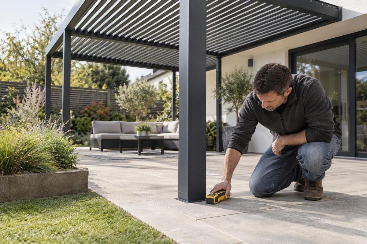
Pergola site planning
Pergola post locations depend on more than the patio dimensions. A buried gas line, electrical feed, water pipe, irrigation line or drainage run may cross the intended drilling area, and old drawings may not reflect later work. Striking a service can interrupt it, create a hazard and force a redesign. Treat utility locating as part of the layout process, not as a check after holes have been marked. This guide covers records, locating requests, private services and excavation planning so anchor positions remain provisional until the ground below them has been assessed.

Why utility checks come before post locations
An anchor plan identifies where the structure is intended to stand; it does not map every pipe, cable or drain below it. Nor is the visible fixing always the full work area. Depending on the approved design, installation may involve drilling and excavation around a support, and tools need access to the ground around the point. A service can also cross between posts or follow the edge of the patio. Review the whole area that could be disturbed, including proposed posts, foundation work, equipment access and any temporary trench or test opening—not just the final post centres. A neat surface does not establish that the ground underneath is clear.
Keep the layout provisional until service checks and structural review are complete. The pergola drawing establishes the intended support arrangement; property records and field locating help identify possible routes; then the installer or qualified designer considers those findings against the actual substrate and approved anchoring details. A mark near a post calls for clarification, not an improvised offset. Depending on the conflict, the answer may be a revised layout, a different approved anchoring detail or further assessment. Doing this work before the posts are agreed makes it easier to compare options and avoids treating a sketch as permission to drill.
Gather records and note their limits
Collect documents associated with the property: construction or servicing plans, permits, renovation records, grading or drainage drawings, utility connection information, and photographs taken before the patio or yard was finished. Ask the current owner, property manager or contractors who completed later work where lighting, irrigation or drainage was routed. A property survey may show boundaries and site features without locating every buried service, so note exactly what each document covers. If the Bloomcabin Pergola is on your shortlist, record its model name separately; a product listing identifies the structure, not buried infrastructure or approved anchor positions.
Make a simple records register with each document’s date, source, revision if shown, coverage area and unanswered questions. An as-built drawing is useful evidence, but it may reflect only the work captured at a particular stage; later repairs or landscaping can change routes. Ask whether upgrades occurred after the document date, and keep original files and photographs. Do not redraw a line as precise just because it can be measured from a page. Label its status as documented, field-marked or unverified. That distinction gives the locator and installer a clear question to answer instead of blending estimates with confirmed observations.
How to interpret existing service plans
Check each plan’s orientation, scale, date, reference points and legend before comparing it with the patio. Confirm whether it covers the whole property or only a connection, and whether its lines show measured positions, schematic routes or approximate notes. A symbol may identify a connection without showing the exact path between endpoints or its depth. Compare known fixed features, such as a building corner or service entry, with what is present now, but do not shift a buried line by eye when the drawing appears inconsistent. Ask the document source to explain unclear symbols or limits on the plan’s coverage.
Plans of different ages can disagree because a service was extended, repaired, rerouted or added later. A renovation invoice may note that a line was moved without mapping its full route; another contractor’s private work may not appear at all. Keep conflicting information visible on the working sketch—do not average two estimated routes—and ask the locator to investigate the affected zone. For a model such as the Bloomcabin Bioclimatic Pergola, use the correct model-specific dimensioned layout to establish support points; do not derive them from an image or assume the outer footprint gives all anchor coordinates. The site plan and installation drawing answer different questions.
Mark the full pergola work area
Put the pergola drawing and a measured site sketch side by side. Mark every proposed post centre, any footing or excavation area specified in the approved details, the patio edge, walls, steps and visible service entry points. The anchor drawing should match the exact model and configuration; do not take post spacing from a similar-looking structure. If you are considering a Bloomcabin Wall-Mounted Pergola, use its model-specific drawings to identify the intended support arrangement and any ground fixing locations. Keep those locations provisional on the sketch so the locator can assess the proposed work area before the installer confirms the final layout.
Mark more than the finished outline. Show where drilling, digging or equipment access could occur, and note any alternate post position you might consider if a route is found. Use temporary markings that are easy to read during a site walk-through, with dimensions measured from fixed features rather than movable furniture. Keep the proposed work area visible and label what each mark represents. Do not move a post to clear a service based only on a tape measure: the change can affect the support arrangement and must remain within an approved design. A clear sketch helps the locator respond to the actual work rather than an approximate patio rectangle.

Request locating for the planned excavation
Contact the utility-locating notification service or other appropriate local provider before ground disturbance, following the process used in your area. Give the exact address, proposed work area, timing and activity, such as post-hole drilling or footing excavation. Ask which utilities and parts of the property the request covers, what access or surface marks are needed, and how long the markings remain valid. Service names and coverage vary by location; do not assume a public-utility locate includes every privately installed line. If the pergola footprint is changing, describe the current version rather than submitting an old sketch.
Arrange the request once the work area is defined enough to mark, but before anchor positions are finalized. Walk the site with the locator if that is offered, point out visible meters, service entrances and known repairs, and show the excavation limits. When planning a bioclimatic pergola model, share its proposed support drawing as the structure layout; the locate request still needs the actual on-site work area and method. Keep the request reference and any completion documentation. If work is postponed or the footprint moves, ask whether a new locate is needed instead of relying on old paint, flags or notes.
Include private lines and drainage
List private services separately from the utility locate. Common examples include a feed to a shed, garage or exterior lights, low-voltage landscape wiring, irrigation, a line to an outdoor appliance, and water or drainage installed during landscaping. Use records and the people who installed or maintain these systems to trace what you know from source to destination; do not infer the route from a switch, tap or sprinkler head. Ask the locate provider what it did not search, and contact relevant service contractors when their work may be involved. If you are comparing the regular Bloomcabin Pergola, keep the proposed layout alongside this service list so private lines are included when its installation area is assessed.
Include drainage features even if they do not carry a utility service. A yard may have a surface drain, downspout extension, sump discharge, perimeter drain, catch basin or another water route below grade. A damaged line can affect drainage or cause a later leak, and its path may not appear on a utility plan. Check grading and drainage records, ask the landscaping or drainage contractor, and compare visible inlet and outlet points with the proposed work area. Treat a route that cannot be followed from reliable evidence as unknown; have a suitable professional investigate it before a hole is planned there. This matters especially where the patio has been relaid or the yard regraded.
Limits of underground utility locating
Locating is a field investigation, not a scan that identifies everything underground. The method depends on the line and the site: electromagnetic equipment can detect certain conductive services, while other techniques, including ground-penetrating radar, may be considered where suitable. Non-metallic pipes, unmarked private lines, closely grouped services, soil conditions or access limits can affect what is found. Ask the locating provider which areas and service types were searched, which methods were used and what was outside the scope. A clear result for one type of line is not evidence that unrelated water, drainage or irrigation routes are absent.
Ask the locator to explain the markings and any uncertainty before work is booked. Marking conventions vary, and paint, flags or a sketch generally indicate an estimated route or locate result rather than an exact depth or a universally safe drilling boundary. Keep the locator’s documentation and confirm what it means for the planned tool and excavation. Do not assign a clearance distance yourself or treat an unmarked strip as verified empty. If a mark overlaps the work area, or a route cannot be distinguished from another service, have the issue assessed and the plan updated before proceeding.
Plan excavation around field markings
Use a site walk-through to turn the markings into a work plan. Confirm that the located area matches the current drawing, that marks are visible from the proposed equipment position and that the contractor understands which routes remain uncertain. Walk through before staging or other work obscures the markings. Agree in advance where work must stop if a mark appears somewhere unexpected, an unrecorded pipe or cable is exposed, or excavation extends beyond the located area. For a model selected from the wall-mounted pergola page, include any ground work specified in its anchoring details when reviewing the work area with the contractor.
Where a service needs to be exposed or its position confirmed, follow the locator’s instructions and applicable safe excavation procedures through people qualified for that work. Do not assume a hand tool is automatically safe near an unidentified line, or that a power auger is acceptable because a surface mark appears separated from the hole. Have the contractor and relevant utility representative settle the method and site precautions. Keep the working sketch, locate records and revised plan together so the installer can see what was verified, by whom and when. Stop if the site conditions no longer match that information.

Match the anchor plan to the verified substrate
Utility clearance and structural suitability are separate checks. A location may appear clear of buried lines but still be unsuitable for the proposed anchor because the substrate, slab edge or structure has not been assessed. Conversely, a solid-looking patio does not establish that drilling through it will avoid embedded services or reach a support that can carry the designed loads. Use a structural assessment, substrate evidence and approved anchoring drawings for the selected pergola; do not apply one footing detail to every property. This matters particularly on an existing slab or near an edge, where hidden construction details may affect the proposed fixing.
Use the Wall-Mounted Pergola model listing to identify the model under consideration, then obtain its matching drawings for the substrate assessment. The installer or qualified professional needs to consider the intended fixing points and support arrangement together with the site evidence. If a marked utility means a post must move, have the revised spacing and anchoring detail reviewed before drilling. Keep the utility findings and structural assessment separate in the project records so neither is mistaken for approval of the other. Do not solve an underground conflict by improvising a bracket, relocating a post by eye or choosing a larger hole; those changes can create a new structural or service problem.
Resolve conflicts before revising the layout
Escalate a conflict instead of trying to work around it in the field. If a locate result crosses a post, foundation envelope or access route, ask the locator to clarify the route and its limits; involve the pergola installer or structural designer to review a revised layout. If the service itself may need moving, have the relevant utility owner or qualified service contractor confirm whether relocation is possible and what work it requires. Do not presume that a line can be moved, disconnected or covered as part of the pergola installation. Keep decisions about the service with the people responsible for it, and have the structure reviewed separately.
When the design changes, update the site sketch and identify the selected model on the revised drawing. If the selection remains Bloomcabin’s bioclimatic model, obtain the drawing for that exact configuration rather than carrying forward anchor positions from an earlier layout. Make clear which version replaces the previous plan, and give the installer the current service records, locate documentation, field notes and structural assessment together. The final drawing should show the agreed support locations and correspond to the verified site and approved anchoring details. This gives the crew one current layout to use when setting out drilling positions, rather than several sketches with conflicting information.
Frequently asked questions
Does a utility locate include every buried line on my property?
Not necessarily. A locate may cover only services within the provider’s scope; private feeds, irrigation, lighting and drainage can be outside it. Ask what was searched and arrange a separate investigation for anything not covered. Keep uncertain routes marked as unverified until they have been addressed.
Are old property plans enough to set pergola posts?
No. Plans can be incomplete, out of date or schematic, and they may not show later repairs or privately installed services. Use them to identify possible routes, then arrange locating for the proposed work area and resolve any conflicts before confirming anchor positions.
Can I use a handheld detector instead of arranging a locate?
A consumer detector may have limited uses, but what it can detect depends on the tool, line and site conditions. It should not be treated as proof that the whole excavation area is clear. Ask a qualified locating provider to investigate the relevant services and explain any limits.
Can I move a post a few inches to miss a marked line?
There is no universal offset that makes a post location safe. Ask the locator to clarify the route and have the installer or qualified designer check whether a revised position fits the approved anchoring plan. Do not make the change by eye and drill without that review.
What should I give the installer before drilling?
Share the current pergola and anchoring drawings, your site sketch, available service records, locate documentation, field notes and any substrate or structural assessment. Point out what remains uncertain. If the footprint or excavation area has changed, confirm whether locating work needs to be updated.
A pergola layout is ready for drilling only when the affected services have been investigated, uncertainties addressed and anchor details reconciled with the verified site and substrate. If a route cannot be confirmed, keep that part of the plan open until it can. Preserving flexibility on the drawing is safer than discovering an unknown line after excavation begins.
